

| Signed | |
|---|---|
| Author(s) | Petermann, Augustus |
| Illustrator(s) | N/A |
| Publisher(s) | Published by Edward Stanford |
| Published Date | 1866 |
| Edition | New Edition |
| Signature Information | N/A |
| Size | 22 x 14 cm (folded), 85.5 x 63.5 cm (open) |
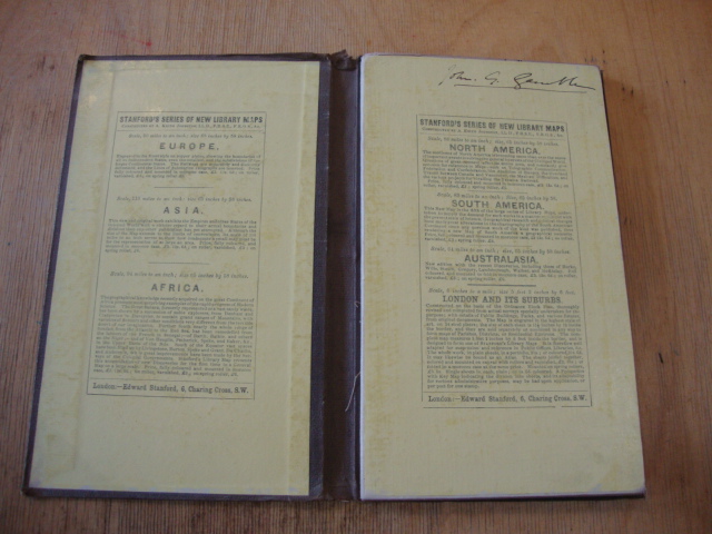
| Book Condition | Close tears along joints of cover and an open tear at head of the spine, cover and title label faded, corners bumped, map is clean and in very good condition |
| Jacket Condition | N/A |
| Binding | Map on linen folding into brown cloth cover, paper title label |
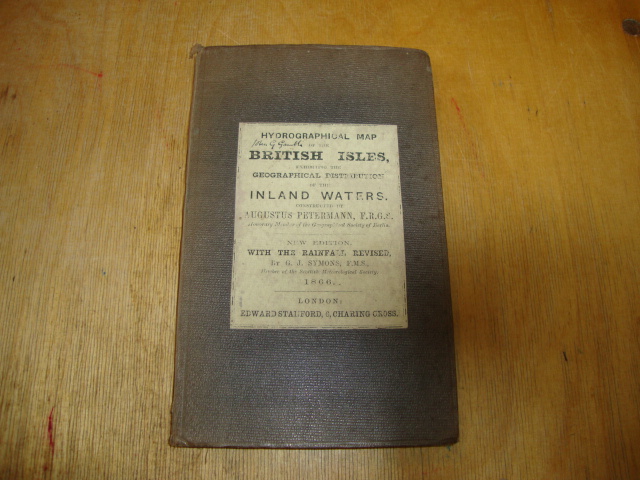
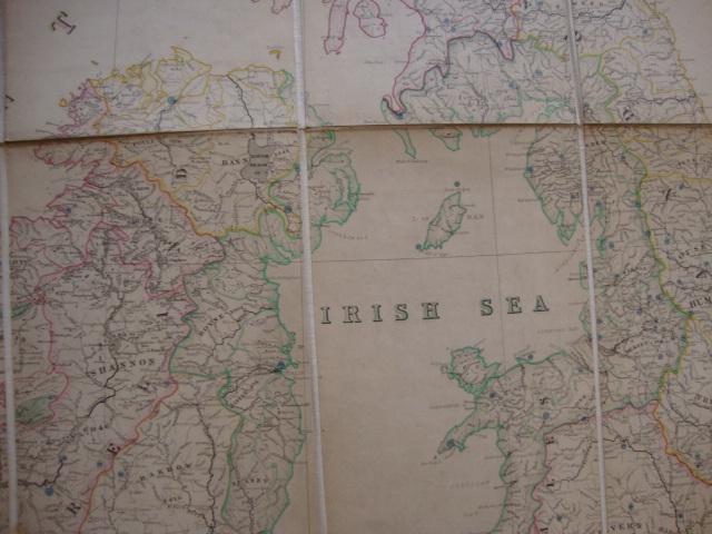
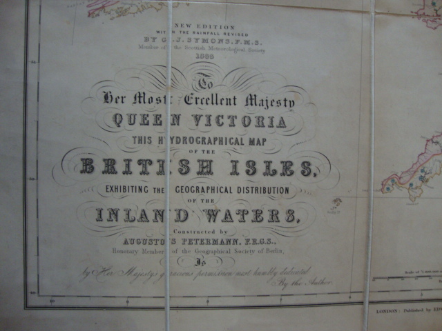
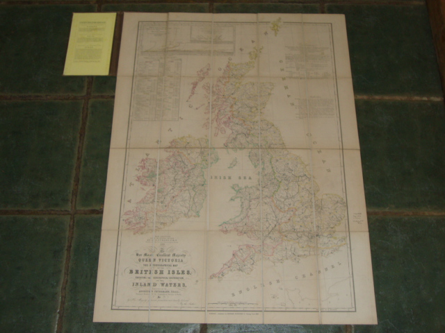
Hydrographical Map of the British Isles Exhibiting the Geographical Distribution of the Inland Waters, scale 25 miles to 1 inch
£200.00
Linen backed map folded in 20 sections. Hand Coloured in outline.
1 in stock


