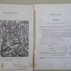
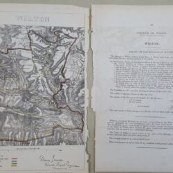
| Signed | |
|---|---|
| Author(s) | Ordnance Survey |
| Illustrator(s) | Engraved (direction of) Colonel Cameron |
| Publisher(s) | Published by Colonel Sir H James |
| Published Date | 1865 |
| Edition | New Edition |
| Signature Information | N/A |
| Size | 21.5 x 15 cms |
| Book Condition | Possibly some refurbishment, neatly adapted with new backing, some slight staining and marking, very substantial, good condition |
| Jacket Condition | N/A |
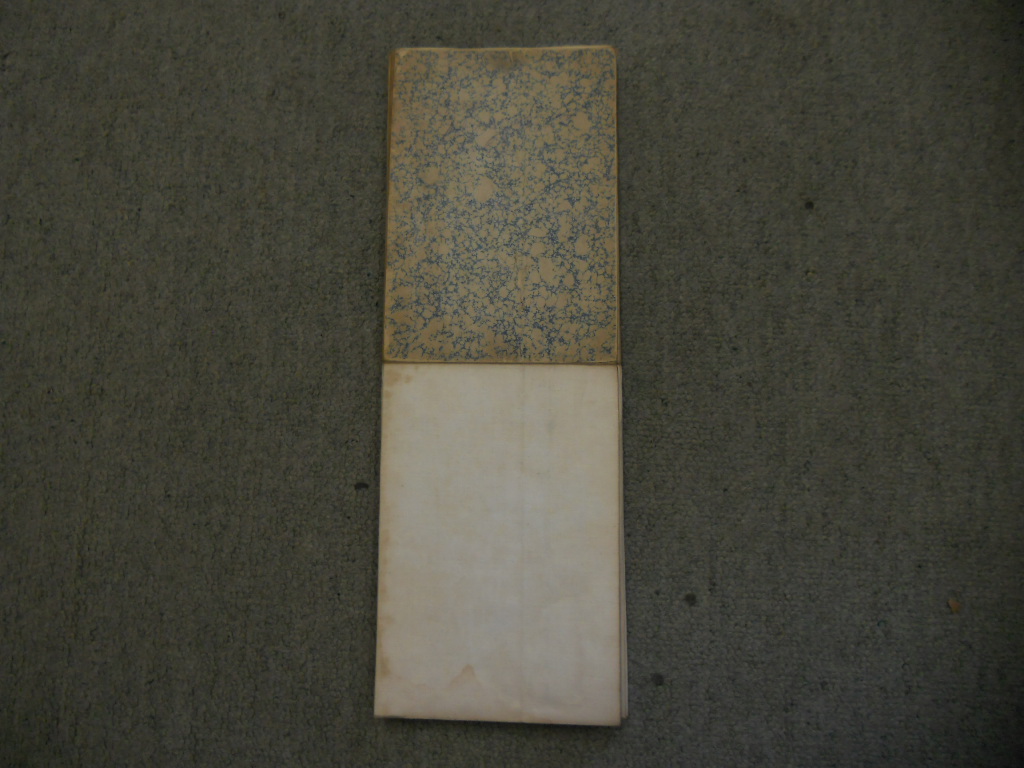
| Binding | Handmade marbled card covers with handwritten title in ink, paper on cloth backing |
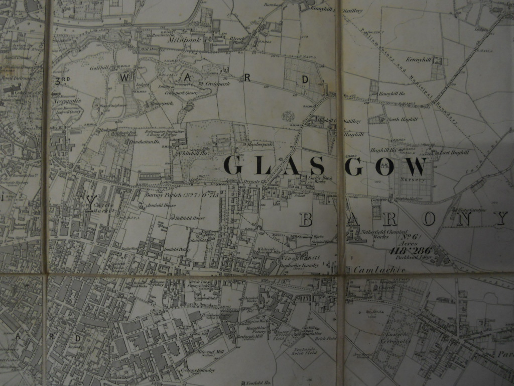
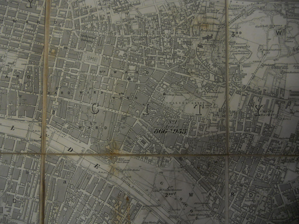
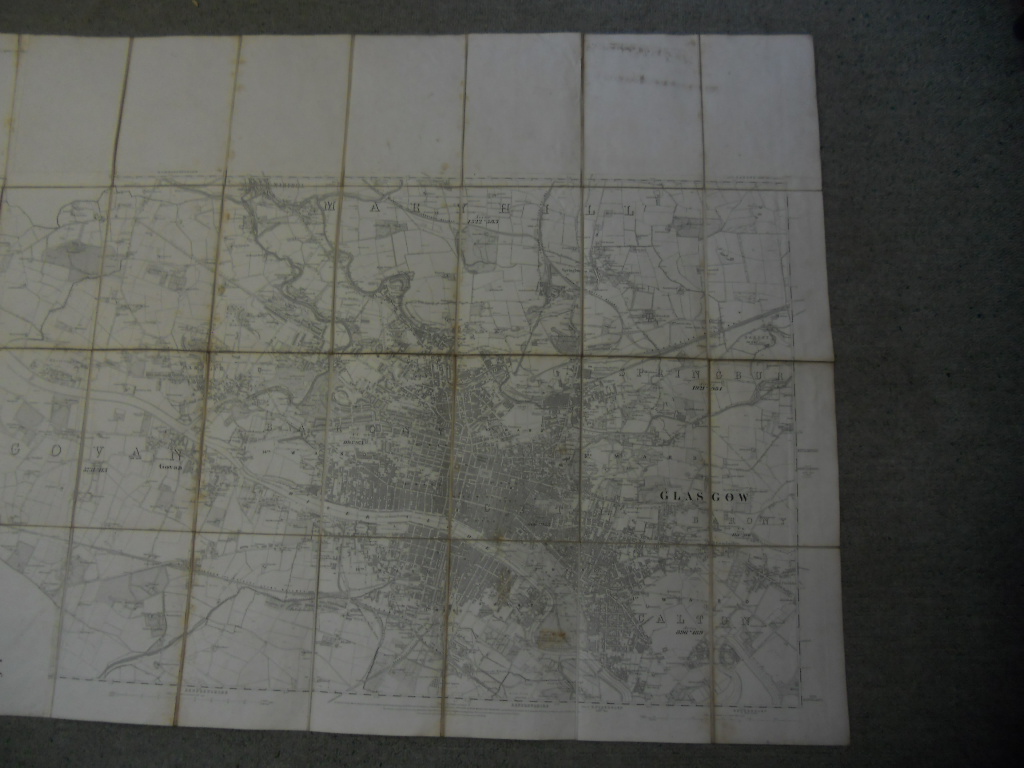
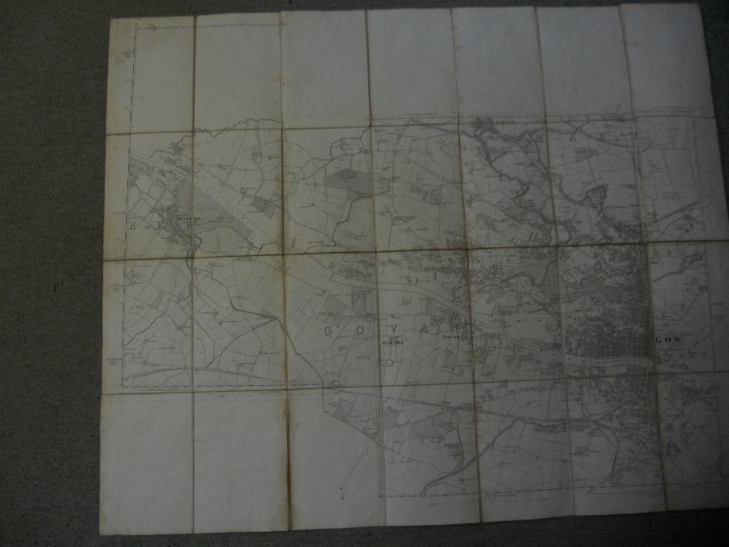
Map of Glasgow
Detailed black and white map of Glasgow and district (85.5 x 133.5 cms extended, including Maryhill, Calton, Sprinburn, Govan, Barony), double border of Latitude (not continuous), Scale of 6 inches to 1 statue mile (including furlongs, altitude, acreage, boundaries, railway and canals), faded handwritten title to upper cover “Glasgow”, appears to have been constructed in panes [for ease of folding?] (including cut sections accurately repasted to backing)