

| Signed | |
|---|---|
| Author(s) | Swanston, G.W. |
| Illustrator(s) | N/A |
| Publisher(s) | Published by A. Fullarton & Co. |
| Published Date | no date given, approximately 1862 |
| Edition | First Edition thus |
| Signature Information | N/A |
| Size | 46.5 x 57.5 cm |
| Book Condition | Central fold small chip to top of fold, edges show very slight wear and tanning, small faint brown spot to sea area, map in very good condition |
| Jacket Condition | N/A |
| Binding | N/A |
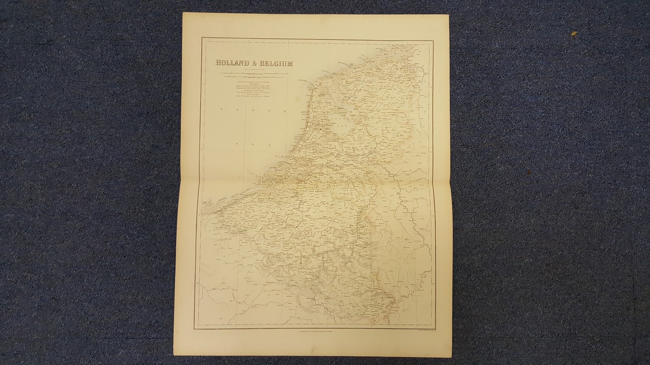
Map of Holland & Belgium
£35.00
46.5 x 57.5 cm colour map, double page plate on guard mount, heavy paper, 3 cm margins,
1 in stock


