

| Signed | |
|---|---|
| Author(s) | Anon |
| Illustrator(s) | N/A |
| Publisher(s) | Published by The National Geographic Society |
| Published Date | 1946 |
| Edition | First Edition |
| Signature Information | N/A |
| Size | folded 16 x 19 cms, unfolded 63 x 76 cms |
| Book Condition | Some scuffing and tears to corners and folds, some small pen and rust markings, colour map nice and bright, in very good condition |
| Jacket Condition | N/A |
| Binding | Paper map |

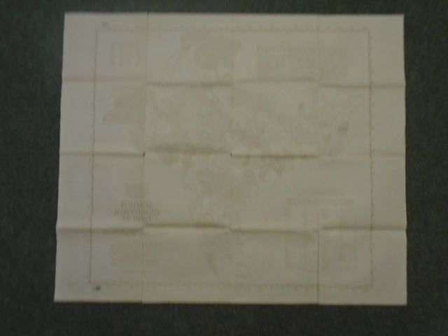
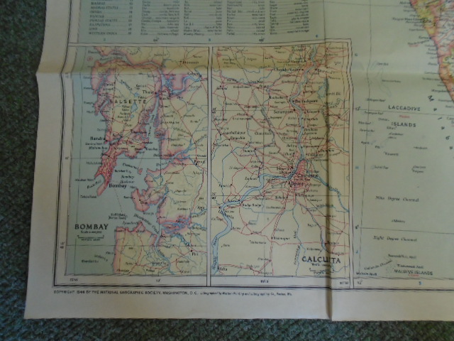
Map of India and Burma, Map of Political Subdivisions of India [Double sided map]
£40.00
Double sided map, general map of India and Burma in colour with map of Political Subdivision in monochrome, scale of 1 inch to 94.7 miles
1 in stock


