| Signed | |
|---|---|
| Author(s) | James, Sir Henry [for the Ordnance Survey] |
| Illustrator(s) | N/A |
| Publisher(s) | Zincographed at the Ordnance Survey Office under the supervision of Captain R M Parsons |
| Published Date | 1868 |
| Edition | New edition |
| Signature Information | N/A |
| Size | page size approx 36 x 26 cm [14 x 10 inches] |
| Book Condition | Map in very good condition |
| Jacket Condition | N/A |
| Binding | N/A |
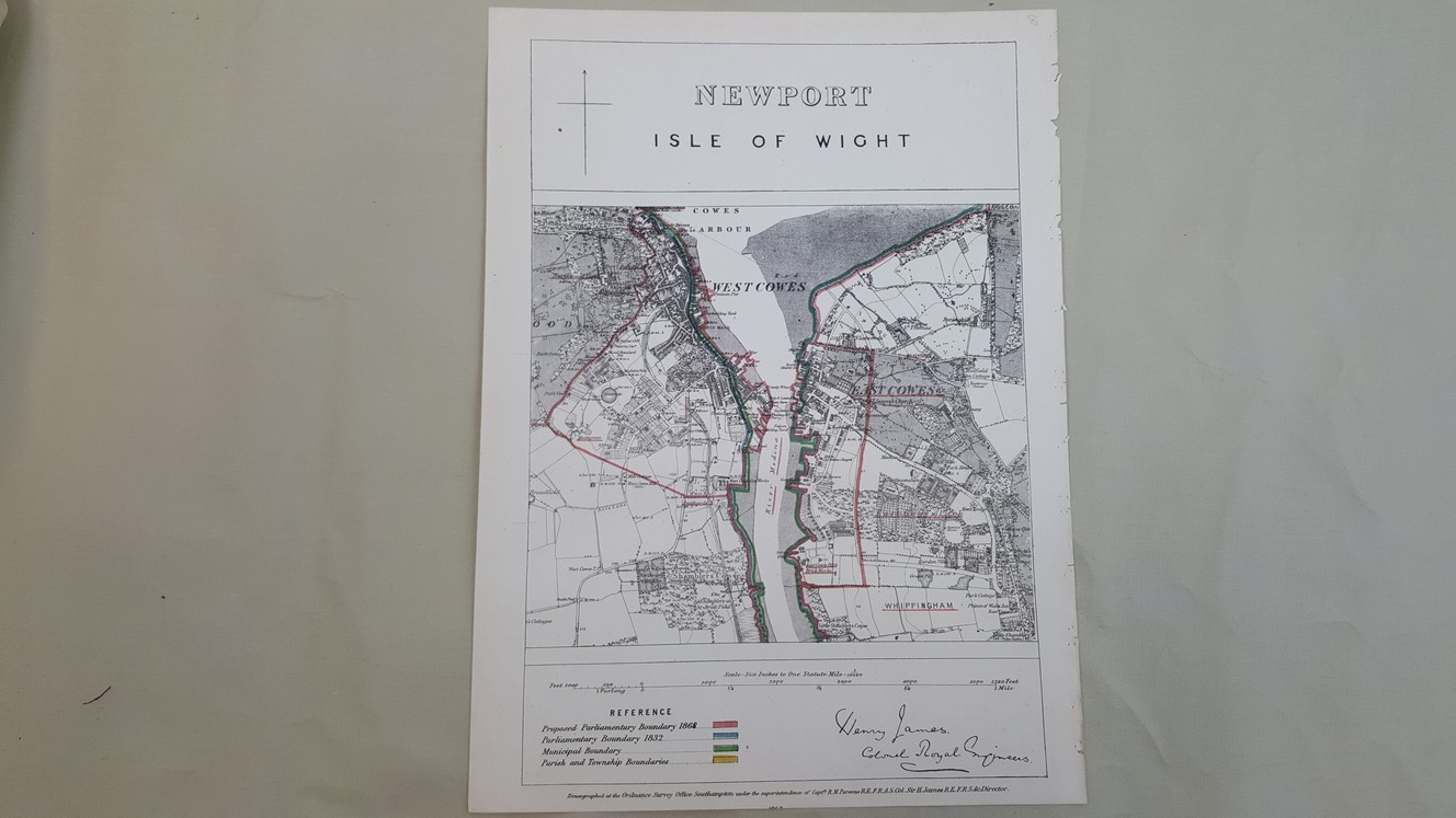
Map of The Borough of Newport, Isle of Wight
£20.00
Map hand coloured in outline showing the proposed parliamentary boundary for 1868, the parliamentary boundary for 1832, the municipal boundary, and the parish and township boundaries, map size approx 22 x 20 cm [9 x 8 inches], six inches to one mile.
1 in stock