| Signed | |
|---|---|
| Author(s) | Rapin de Thoyras, Paul & Tindal, N. |
| Illustrator(s) | engraved by J. Bafire |
| Publisher(s) | N/A |
| Published Date | no date given, approximately 1745 |
| Edition | Second editon |
| Signature Information | N/A |
| Size | engraved area 37 x 48 cm |
| Book Condition | Edges a little rubbed with a few small chips all outside border of engraving, creases from folding, otherwise very good condition |
| Jacket Condition | N/A |
| Binding | N/A |
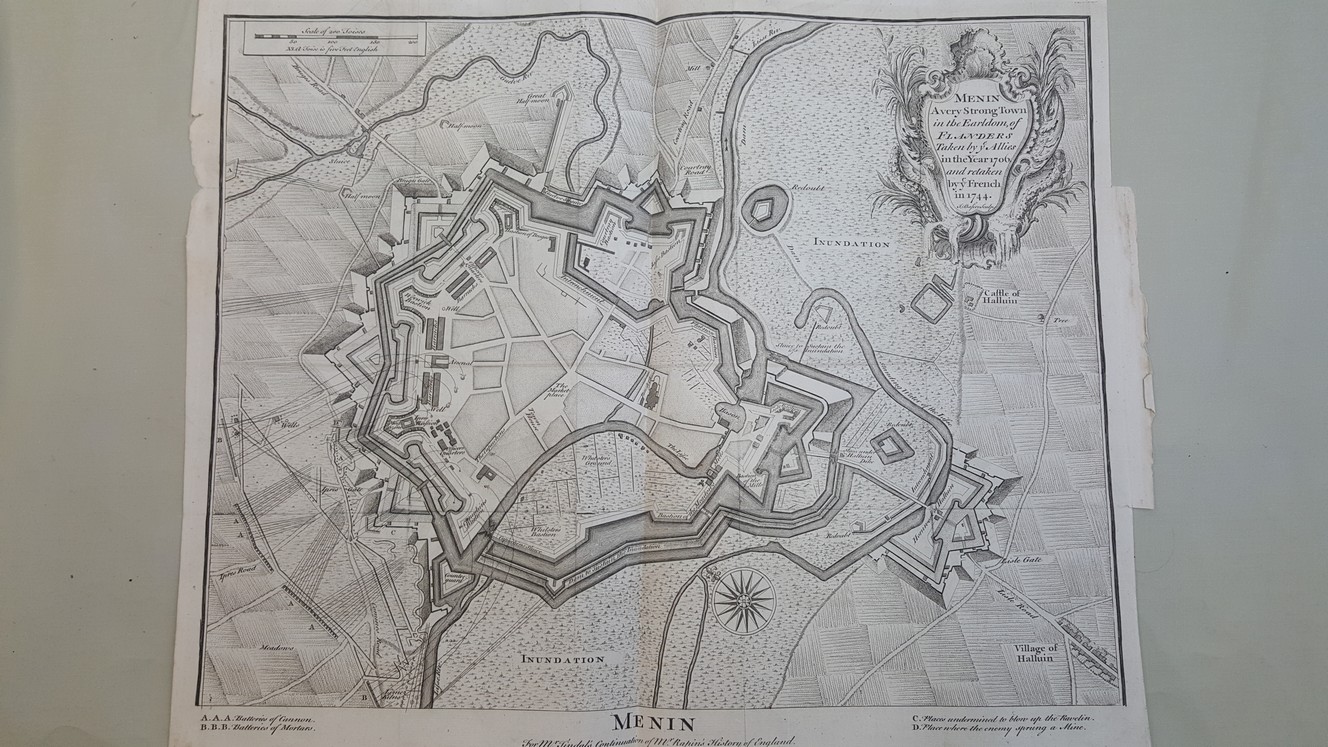
Menin – A very strong town in the Earldom of Flanders taken by ye Allies in the year 1706 and retaken by the French in 1744 [ Map of Menin taken from Mr Tindal’s continuation of Mr. Rapin’s History of England ]
£24.00
44 x 50 cm, engraved, folding map, originally a plate from a book, scale of approximately 260 feet to the inch showing defences and attacks on the fortified city of Menin, 1 cm + margin at all sides
1 in stock