

| Signed | |
|---|---|
| Author(s) | Gardner, James |
| Illustrator(s) | N/A |
| Publisher(s) | Published by the Ordnance Survey |
| Published Date | 1825 |
| Edition | First Edition |
| Signature Information | N/A |
| Size | 66 x 84 cm (open), 21 x 13 cm (folded) |
| Book Condition | Some stains to the map, mostly in the top right corner, good condition |
| Jacket Condition | N/A |
| Binding | Linen backed map |
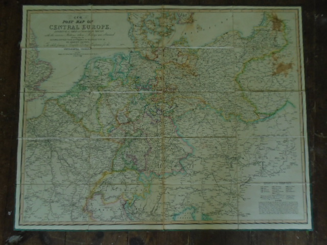
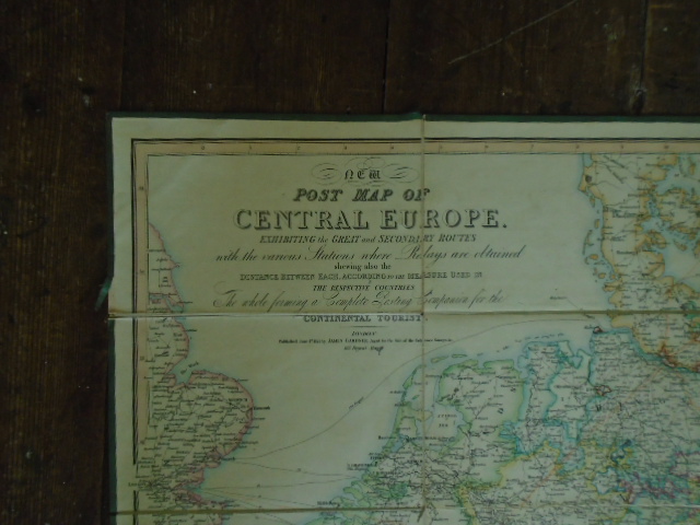
New Post Map of Central Europe Exhibiting the Great and Secondary Routes with Various Stations where Relays are Obtained shewing also the distance between each. According to the Measure used in the Respective Countries. The Whole forming a Complete Posting Companion for the Continental Tourist
£250.00
Outline hand coloured linen backed map of Europe
1 in stock


