| Signed | |
|---|---|
| Author(s) | Mudge, Colonel |
| Illustrator(s) | N/A |
| Publisher(s) | Published by James Wyld and the Ordnance Survey |
| Published Date | 1869 |
| Edition | Reprint |
| Signature Information | N/A |
| Size | 17 x 12 cm |
| Book Condition | A few small spots otherwise map clean and complete, in very good condition, case a little rubbed at corners, very good condition |
| Jacket Condition | N/A |
| Binding | Dark blue cloth case with original printed paper title label to side |
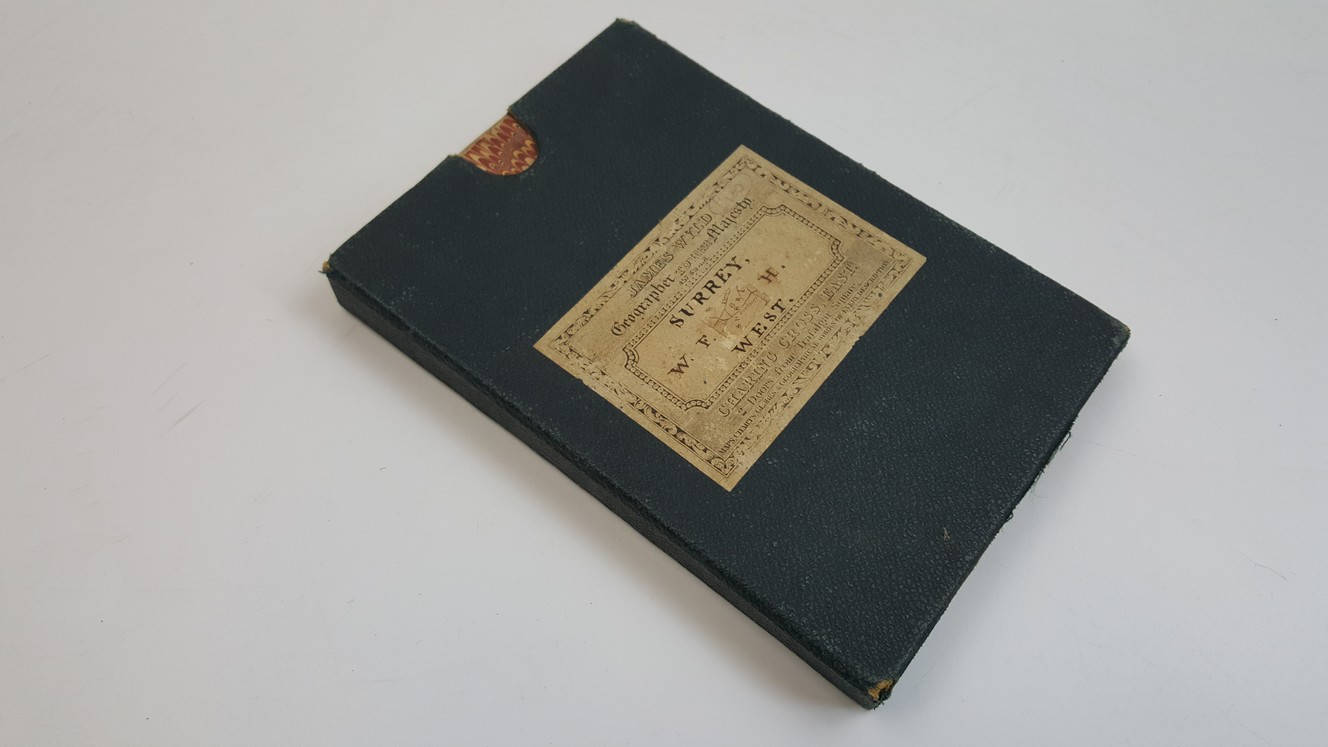
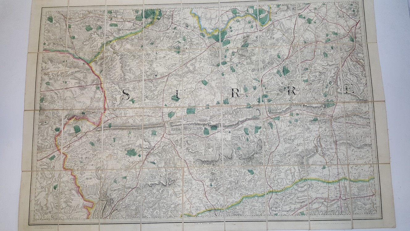
Ordnance Survey Folding Map of West Surrey, Sheet No. VIII.
£95.00
Folding map with 36 sections, linen-backed, 100 x 68 cm opened, hand-coloured borders, railway lines, and parks, covers Wokingham at top left corner, Croydon top right, Woolmer Forest bottom left, and Crawley bottom right, printed from an electrotype taken in 1869, first published 1816 by the Ordnance Survey,1 1/4 inches to a mile
1 in stock