| Signed | |
|---|---|
| Author(s) | Bourne, Eben |
| Illustrator(s) | N/A |
| Publisher(s) | Published by Colonel Mudge, Ordnance Survey |
| Published Date | 1819 |
| Edition | First Edition |
| Signature Information | N/A |
| Size | 17 x 12.5 cm (folded), 67 x 99 (open) |
| Book Condition | Some wear and sunning to covers, in very good condition |
| Jacket Condition | N/A |
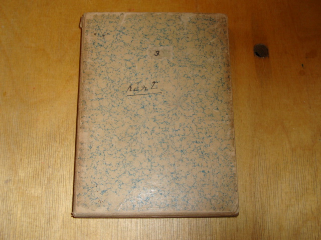
| Binding | Map on linen folding into marbled paper cover, small paper label with 3 written on it to front cover, hand-written title to both covers |
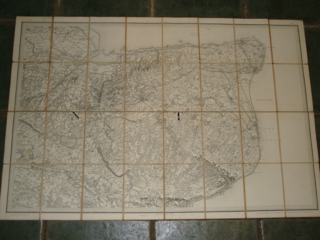
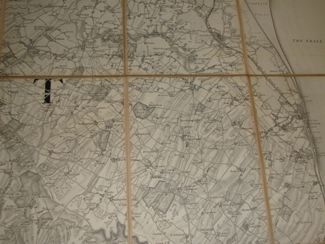
Ordnance Survey Map Sheet No. III of Kent [Including Isle of Sheppey, Canterbury etc.], scale 8 furlongs to a mile
£125.00
Black and white linen backed map folded in 32 sections
1 in stock
![Ordnance Survey Map Sheet No. III of Kent [Including Isle of Sheppey, Canterbury etc.], scale 8 furlongs to a mile](https://shop.keoghsbooks.com/wp-content/uploads/2022/02/76570_1.jpg)
![Ordnance Survey Map Sheet No. III of Kent [Including Isle of Sheppey, Canterbury etc.], scale 8 furlongs to a mile - Image 2](https://shop.keoghsbooks.com/wp-content/uploads/2022/02/76570_2.jpg)
![Ordnance Survey Map Sheet No. III of Kent [Including Isle of Sheppey, Canterbury etc.], scale 8 furlongs to a mile - Image 3](https://shop.keoghsbooks.com/wp-content/uploads/2022/02/76570_3.jpg)
![Conferences des nouvelles ordonnances De Louis XIV, avec celles des roi predecesseurs de Sa Majeste, le Droit ecrit & les Arrets, enriches d'annotations et decisions importantes, Tome Premier & Second, [in 2 volumes]](https://shop.keoghsbooks.com/wp-content/uploads/2022/02/10159_1-250x250.jpg)