| Signed | |
|---|---|
| Author(s) | Keller, Heinrich |
| Illustrator(s) | N/A |
| Publisher(s) | Published by Heinrich Keller |
| Published Date | 1842 |
| Edition | Second edition |
| Signature Information | N/A |
| Size | 22 x 11 cm (folded), 54 x 65 cm (open) |
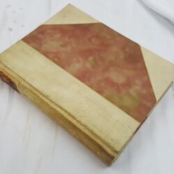
| Book Condition | Few holes to joints in linen backing, previous owner's name to rear, map clean and bright, good condition |
| Jacket Condition | N/A |
| Binding | Linen backed paper map |
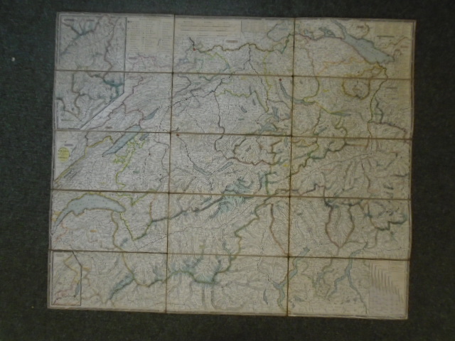
Original von Keller’s Zweiter Reisekarte der Schweiz, 1842
£120.00
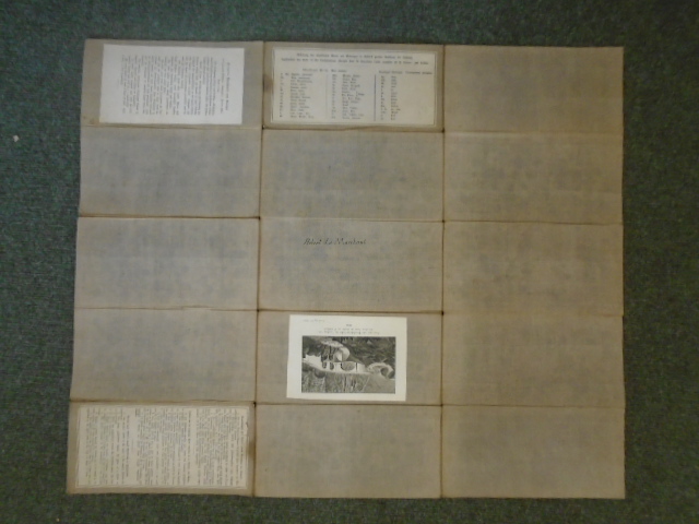
Coloured linen backed road map of Switzerland and surrounding area divided into 15 sections, inserts of Hohenprofile, Franzos Dept. du Jura, and Oestreichscher, in French, German and English, four additional panels pasted to rear, including 1830 engraving “Neue und alte Teufelsbrucke im Canton Uri/ Les Deux Ponts du Diable au St. Gotthard”
1 in stock