| Signed | |
|---|---|
| Author(s) | Author Not Stated |
| Illustrator(s) | N/A |
| Publisher(s) | Published by Edward Stanford, John Barthholomew & Co |
| Published Date | 1895 |
| Edition | New and Revised Edition |
| Signature Information | N/A |
| Size | folded 15 x 10 cms, unfolded 58 x 77 cms |
| Book Condition | Minor damage at folds, foxing on rear of map with only minor foxing on map, overall map in very good condition |
| Jacket Condition | N/A |
| Binding | Purple cloth, paper title label on front |
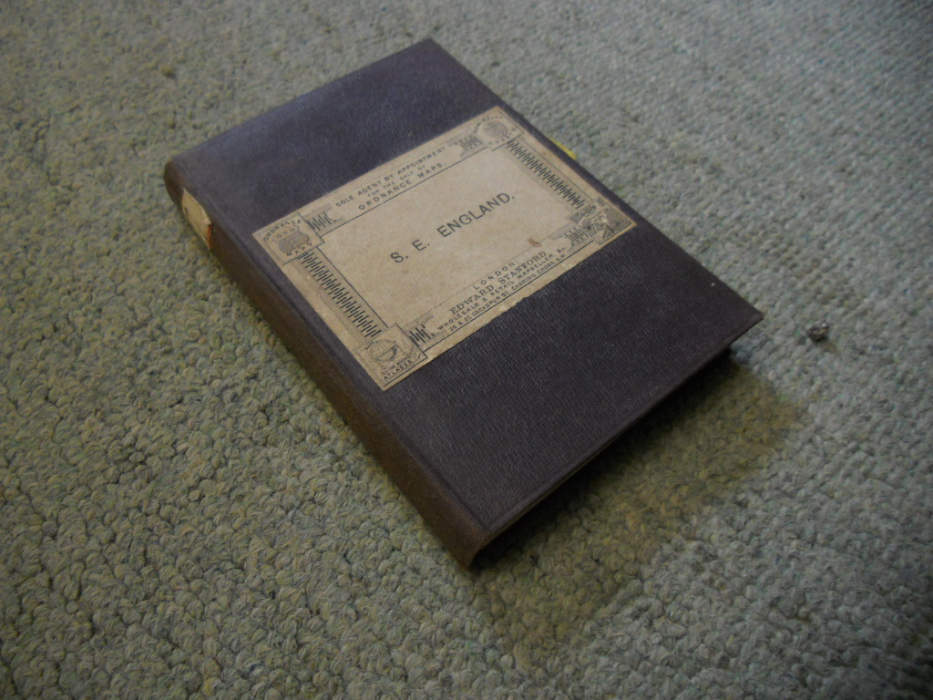
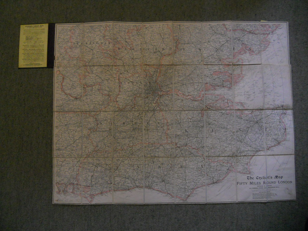
The Cyclist’s Map of Fifty Miles Round London, Showing in Colour all Rideable Roads and Dangerous Hills [Folding Map of S.E. England]
£250.00
Map is in colour and very detailed, scale of 4 miles to an Inch, part of the Stanford’s Library Maps series, cloth backed map.
1 in stock