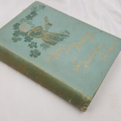
| Signed | |
|---|---|
| Author(s) | Bartholomew, John |
| Illustrator(s) | N/A |
| Publisher(s) | Published by A. Fullarton and Co. |
| Published Date | no date given, approximately 1870 |
| Edition | First Edition thus |
| Signature Information | N/A |
| Size | Large Folio ( 56 x 41 cm) |
| Book Condition | Covers detached and worn, backstrip missing, endpapers and text pages tanned, tear at bottom edge of front free endpaper , some maps show light spotting at margins, otherwise a worn copy with very good maps |
| Jacket Condition | N/A |
| Binding | Brick red cloth with illustrated gilt title to front |

The Imperial Map of England and Wales according to the Ordnance Survey, with the lastest additions shewing clearly every feature of the country, railways and their Stations, Roads, Canals, Rivers, Gentlemen’s Seats &c. &c. on a scale of 4 miles to the inch
£90.00
4 pages of index and statistical information, with 15 54 x 74 cm guard mounted double page engraved maps with outline colour and 3 similar 28 x 74 cm sheets covering Cornwall South Devon and some southerly parts of the coast, the first large sheet is exclusively sea and is used as a decorative title page
1 in stock